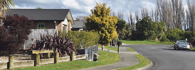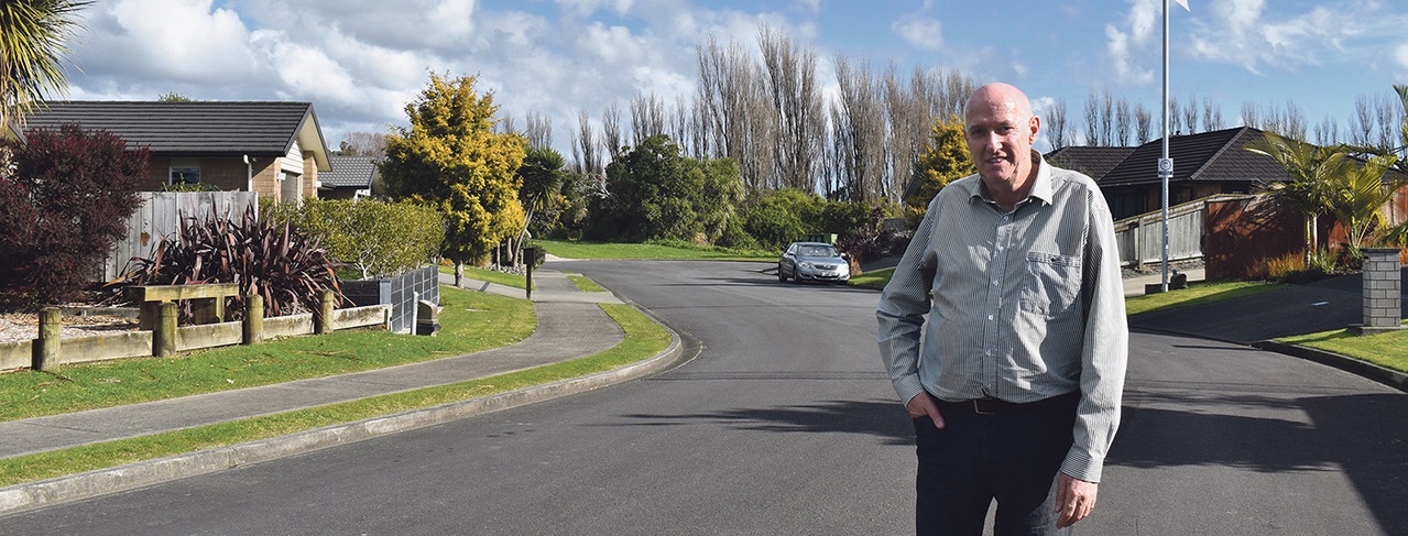
An assessment commissioned by Sue Avenue and Moy Place residents says access to the proposed adjoining subdivision should be directly from Old State Highway 1 – not principally via their streets.
The draft report (to be finalised), by Harriet Fraser, a chartered professional engineer specialising in traffic engineering and transportation planning, disagrees with the developer’s consultants that direct access via the highway would be a traffic hazard.
“An intersection with the highway is needed to provide safe access to the development and to allow for possible future development,” she says. “It is entirely possible for the access arrangements to be redesigned so the development’s adverse effects on connectivity and road safety are significantly reduced, and to bring the development in line with the District Plan’s policy directives.”
Harriet says the proposed access arrangements are “not well aligned with, or are contrary to the District Plan objectives and policies regarding connectivity, road safety and encouraging active mode travel”.
She says there are no trends in crash records that suggest a new intersection onto the highway would result in serious crashes because:
-
the available separation distances would allow for each of the intersections to operate independently from each other
-
the revocation drawings show that there are sight lines from the main highway site frontage of more than 200m in each direction, and
-
the intersection could be formed at this location within the existing road reserve.
Harriet’s review of Waka Kotahi’s crash database shows for the past 10 years, there have been no fatal crashes between the Ōtaki River bridge and Waerenga Road, and three serious injury crashes (all at the Riverbank Road corner) – one of them alcohol related, one a medical incident and the third from following too closely. There has been one 2023 crash where a northbound vehicle hit a parked car.
The closest incident to the Sue Avenue intersection was about 50 metres away.
She also estimates that traffic volumes have reduced since the expressway opened from about 19,000 vehicles a day to aboout 6000.
Having traffic for the development come along Moy Place would raise expected vehicle numbers from one every 10 minutes to one every 30 seconds – and with a longer road, increase speeds.
Residents spokesperson Lyall Payne says he hopes the report and other information provided by the group’s expert resource management planner can be presented to the Environmental Protection Agency’s expert panel, which will decide on the resource consent application for the development.

OTHER STORIES
LATEST POSTS
- RSA positive as it focuses on the future
- Sir Chris, first Ōtaki knight
- More works in downtown Ōtaki
- Court directs KCDC to revisit Moy Place decision
- Concerts line up for rotunda
- No respite for ‘cone town’
- Petition spurred by road works disruption
- Heniti vows to put Ōtaki first
- Trout spawn in Winstone Lakes
- Rāhui Rd next in line for road works
- ‘Monkey’ back to old tricks
- Plenty of choice in election race
- Ōtaki dominates awards night
- Sam risks all for Gaza
- Four now vie for Ōtaki Ward
- Heniti ‘proud to call Ōtaki home’
- Infrastructure works keep rolling on
- An ONZM for arts, sport, heritage
- Trappers aim for predator free Te Horo
- Te Horo hall wants land for car park
- Beach burglars pinch trailer and tools
- Rob throws hat in ring for Ōtaki Ward
- Toilet vandalism ‘tragic, sad’
- Fifty years for Ōtaki fire chief
- Idiots in cars’ block highway

